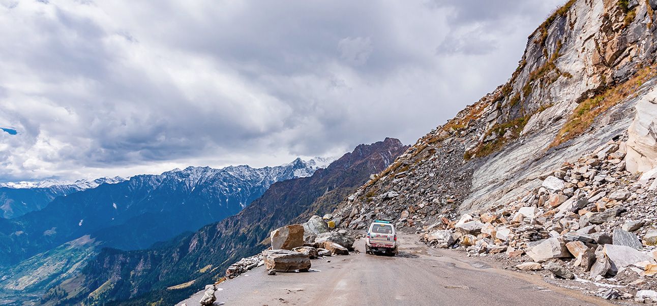
Landslides
What is landslide monitoring?
Landslide monitoring refers to the process of monitoring the stability of slopes and identifying potential landslides. It involves the use of various techniques and instruments to continuously monitor the behavior of slopes and detect any signs of instability.
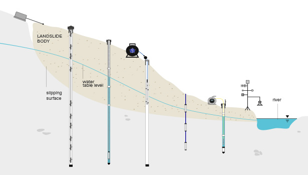
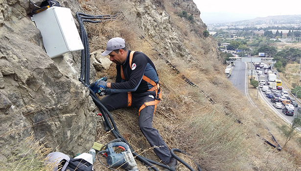
Landslide and slope stability monitoring typically involves installing sensors, such as inclinometers, piezometers, and tiltmeters, which measure the movement, deformation, and water pressure within a slope. These sensors provide nearly-real-time data that is analyzed to identify any changes or trends that may indicate an increased risk of landslides.
The data collected through geotechnical landslide monitoring is used to assess the risk of landslides and to develop appropriate measures to mitigate the risks. This can include slope stabilization measures, such as the installation of retaining walls, anchors, or drainage systems, as well as the implementation of early warning systems to alert nearby communities of an impending landslide.
Which are the challenges in landslide monitoring?
There are several parameters that are typically monitored in landslide monitoring. These parameters can help to identify the potential for slope instability and the likelihood of a landslide occurring. Some of the key parameters include:
- Slope movement: this refers to the magnitude and direction of movement within the slope. This can be measured using instruments such as inclinometers, which measure the horizontal displacement in the landslide body and total displacement on the surface.
- Groundwater pressure: changes in groundwater pressure can affect the stability of a slope. Various models of piezometer are used to measure the water pressure within a slope.
- Temperature: changes in temperature can affect the strength of the slope material, particularly in freeze-thaw cycles. Temperature sensors and temperature strings can be used to measure changes in temperature.
- Deformation: changes in slope deformation, such as bulges or cracks, can indicate instability. Extensometers and crackmeters can be used to measure changes in deformation.
- Rainfall: heavy rainfall can increase the risk of landslides by increasing the pore pressure within a slope. Rain gauges are used to measure the amount of rainfall in an area.
- Seismic activity: seismic activity can trigger landslides, particularly in areas with steep slopes or unstable soil. Seismometers can be used to measure seismic activity in an area.
By monitoring these parameters, engineers and geologists can identify potential risks and take appropriate measures to mitigate the risks of landslides.